
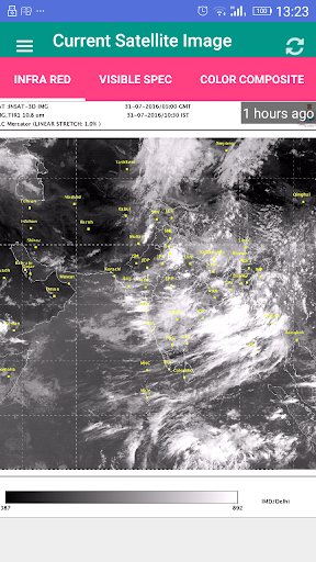
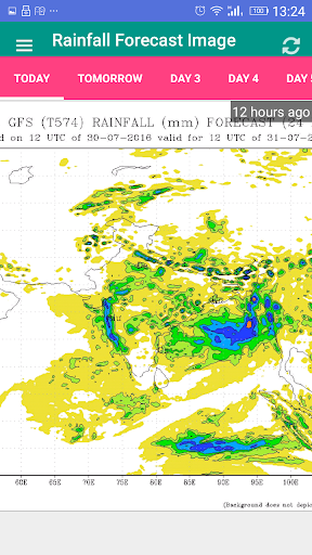
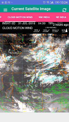
This application will give you satellite maps of Indian Subcontinent for weather prediction, rainfall prediction, temperature prediction on your mobile screen.
Data will be provided in form of Satellite Images which are published by IMD department, New Delhi.
Whenever you see, you will get the latest image on your mobile screen.
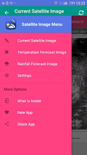
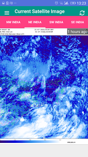
This application will also provide the North East India, North West India, South West India and South East India Satellite Images with details upto district boundaries. You can have a look on current weather as well as prediction about your weather in coming time.
This application also gives you temperature maps which may be very technical and scientific in nature.
This application is very light with size < 6MB and will not cost you anything except data.


9Apps 4.9


