SeaMap icon

SeaMap

2.1 for Android
3.4 | 100,000+ Installs | Reviews

Rulex

Description of SeaMap

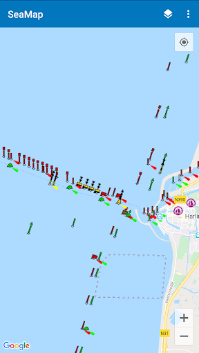
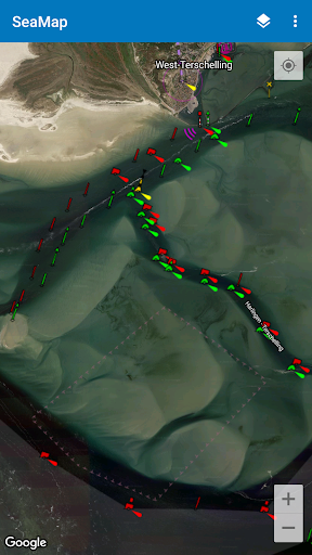
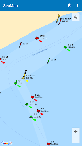
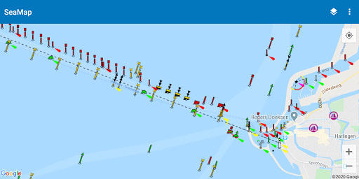
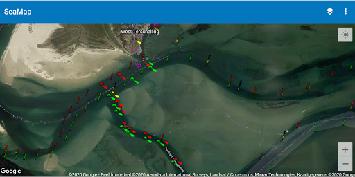
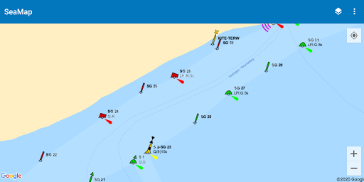
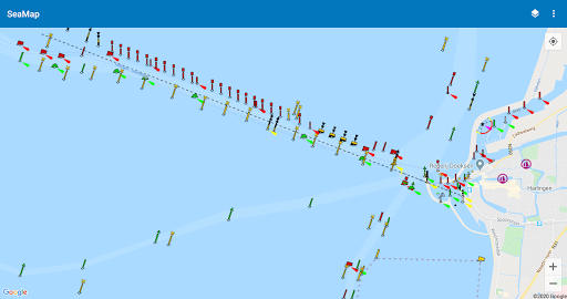
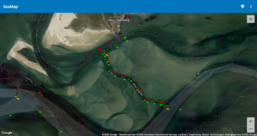
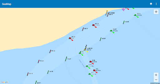
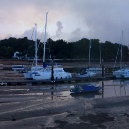
SeaMap shows nautical information on a map. This is useful when you go out sailing with your boat. It includes beacons, buoys, SIGNI, IALA-A and other navigation aids.
The information is obtained from OpenSeaMap which is part of the OpenStreetMap project. It mainly covers parts in Europe, like the Baltic Sea and the North Sea. But more regions are covered like for example areas in Australia.

What's New with SeaMap 2.1

Updated to meet latest Android requirements.

Information

  • Category:
    Maps & Navigation
  • Latest Version:
    2.1
  • Updated:
    2023-10-21
  • File size:
    6.0MB
  • Requirements:
    Android 5.0 or later
  • Developer:
    Rulex
  • ID:
    nl.rulex.seamap
  • Available on:
  • SeaMap
    SeaMap 2.0
    3.9MB
    2020-03-29
    APK
    Picture
  • SeaMap
    SeaMap 1.2
    1.8MB
    2017-10-20
    APK
    Picture
  • SeaMap
    SeaMap 1.1
    366.3KB
    2015-02-10
    APK
    Picture
Reviews
  • avatar
    I like this app
    2020-11-13 10:22
  • avatar
    Good basis tool, i use it as a back up, together with the NV Charts downloaded on this phone.
    2020-03-31 07:52
  • avatar
    worst
    2019-04-01 03:13
  • avatar
    Brilliant for a while but charts, especially the Portsmouth approach channel in the Solent now dangerously out of date.
    2017-12-24 07:09
  • avatar
    Missing offline maps in app based on OSM data, ads.
    2017-09-05 04:14
  • avatar
    Need a way to show the position of an item via clicking on it. Click on a light to show its latitude and longitude. Sort of the same way Maps.Me and Osmand works. Click on the map anywhere to get the position.
    2017-05-19 09:27