
Update July 2020: iGeology Android is no longer being maintained and updated. Work is underway to develop a replacement but the existing application will remain as-is.
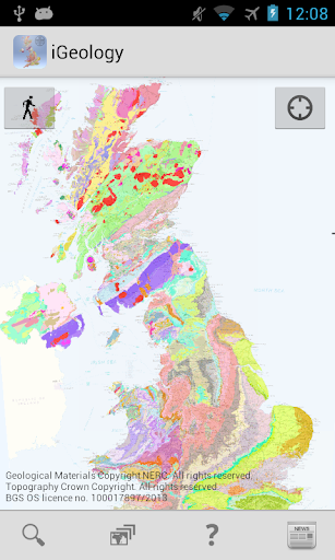
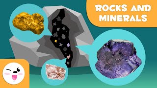
iGeology - Interactive geological mapping of the UK.
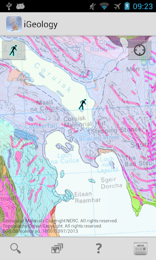
iGeology is for anyone who wants to explore the local geology, at street-level scale, virtually anywhere in the UK.
Amateur geologists, walkers, gardeners and anyone else with an interest in rocks and landscape.
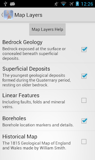
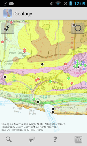
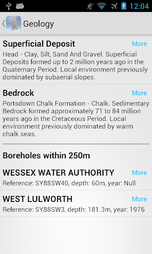
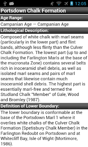
Find out about the rocks at the surface (superficial deposits) or the bedrock beneath.
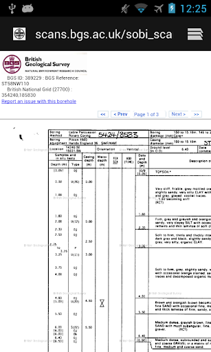
Discover boreholes drilled in your area and look at their log records.
Use GPS to zoom to your location.
Search on place names or postcodes.
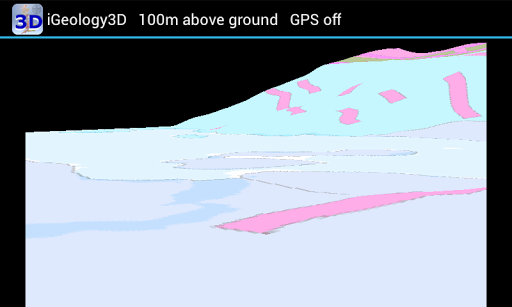
Show a 3D view of the geological landscape.
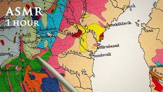
The maps use the British Geological Survey’s national scale (1:625 000) and ‘Landranger’ scale (1:50 000) geological datasets of the United Kingdom (UK).
Map coverage
5% of 1:50000 scale data is unavailable for England, Scotland and Wales.
Only 1:625 000 scale data is available for Northern Ireland.
Privacy policy: http://www.bgs.ac.uk/help/privacy.html
Version 4.1 and 4.2 December 2013
Fixed map Linear Features display problems.
Made GPS optional so it will install on non-GPS tablets.
Version 4.0 April 2013
New map layers added: boreholes and linear features.
Links from boreholes to scanned borehole log images.
Bedrock geology and superficial deposits separated into individual layers.


9Apps 4.9


