
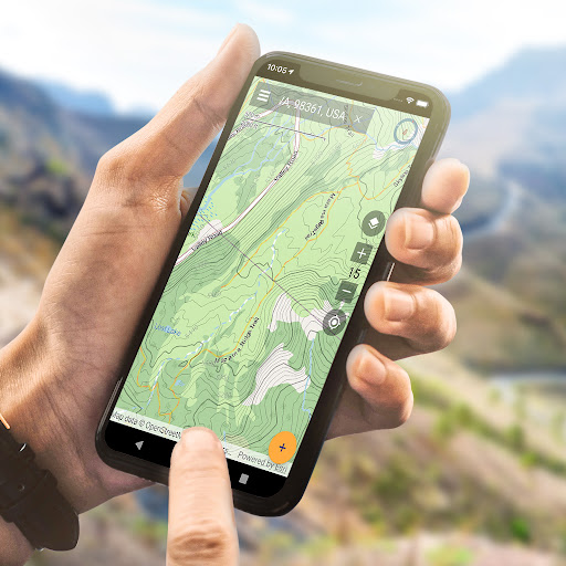
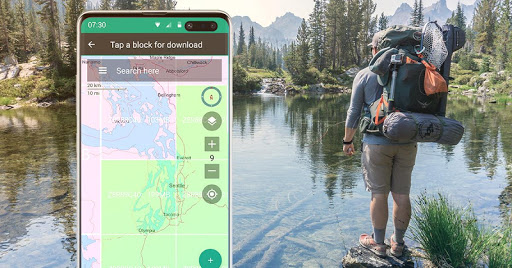
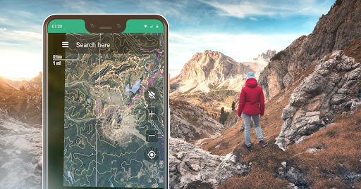


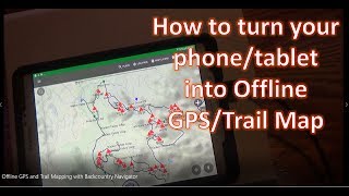
Download and use topo maps offline to explore the outdoors using your smartphone! Use the GPS in your smartphone to navigate, mark your path and record waypoints.
Look at the advantages that BackCountry Navigator XE brings to the table.
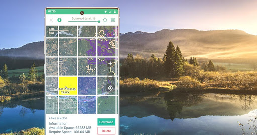
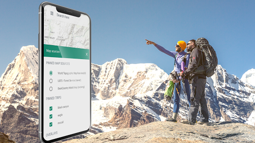
Easy Grid Based Download of Maps
You can try out a simpler approach for downloading and organizing offline maps, choosing large squares at a time. Visualize what you have and what you need.
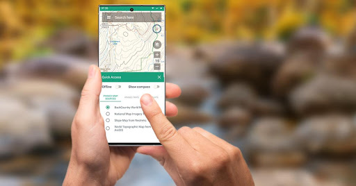
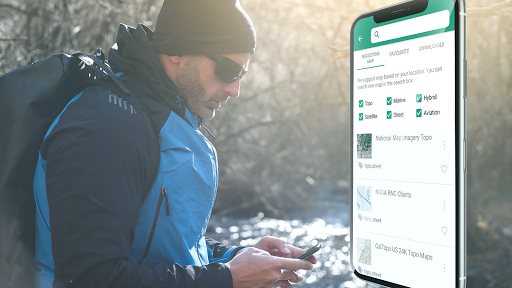
We have a variety of both worldwide and country specific maps that can be downloaded for offline use based on a yearly membership.
Bronze membership to use most maps.
Silver membership to also use slope shaded topo maps of the US, plus US Forest Service maps.
Gold membership to also use Accuterra Maps, with new, readable maps of the US and the World, plus BackRoads MapBook Basemap in Canada.
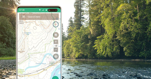
Vector Topo Maps for the World
The default map, BackCountry World map, is a set of Vector topo maps for the world. Vector tiled maps hold the promise of crisp multilevel detail, with the ability to download large chunks of the earth's surface in a quick, compact operation. The BackCountry topo map for the world can be viewed in this app and on
bcnavxe.com
, with an easy process to install them in large blocks.
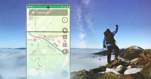
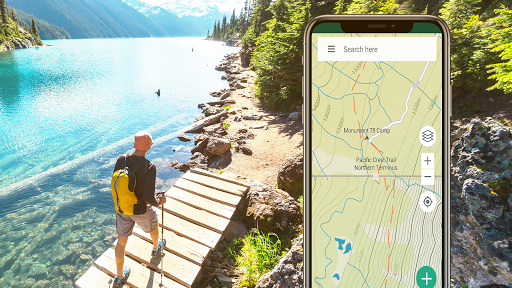
GPS Navigation
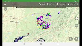
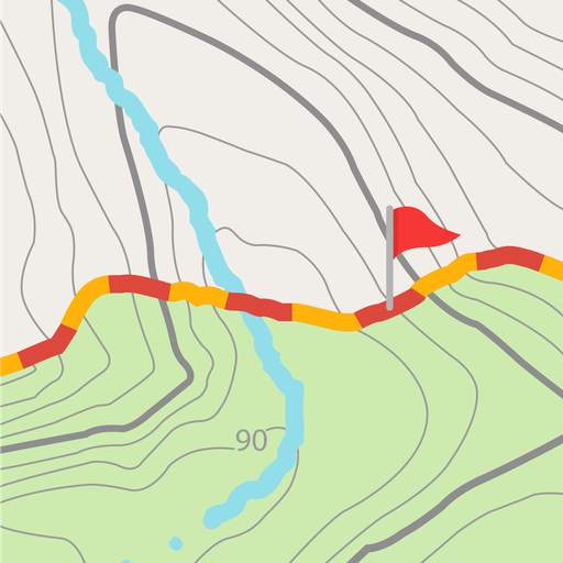
Using GPS in a modern day smartphone, see your position on a moving offline map. Find your way to waypoints you mark on the map or create from entering coordinates into the search bar.
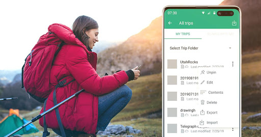
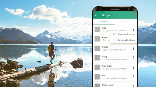
Planning In The Cloud
The website
bcnavxe.com
is the web interface for BackCountry Navigator XE. With it you can plot points, routes, and boundaries for trips, and download them on demand in the mobile app. You can push trips created in the mobile app to the cloud as well for reviewing or sharing.
Cross-Platform
BackCountry Navigator XE works on Android, has a newer app in iOS, and a web app to aid in planning at
bcnavxe.com
.
iOS app is available through
Appstore
We are well known for our previous product
BackCountry Navigator PRO
which is still supported and developed on a parallel track.
https://play.google.com/store/apps/details?id=com.crittermap.backcountrynavigator.license
To see why you might want to upgrade to XE from PRO, see this
comparison
You can also subscribe to the XE List to get notified of status, updates, and deals.
Use Mobac style prebuilt maps.
Ability to show stats for current position when not tracking.
Change coordinates from list of waypoints.
Adjust size of waypoint symbol in settings.
Fix for flash when pinning trip when five are already pinned.
Additional file related fixes.
Fix for sending log failed to helpdesk.
Usability fixes.


9Apps 4.9


