

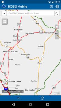

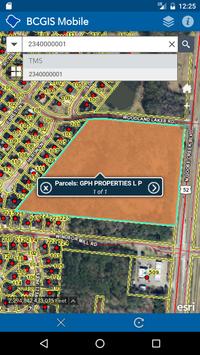
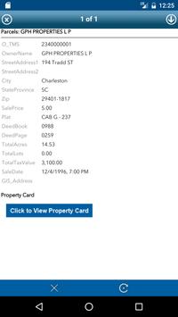
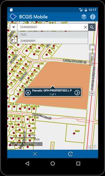


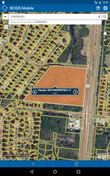

The Berkeley County SC GIS Mapping Mobile app provides basic and easy access to Berkeley County South Carolina GIS information on mobile devices. You can search by TMS number (PIN), owner name, address and street name. Also, you can enable the display of your coordinates based on the center of the map. In addition, Berkeley County GIS Mapping Mobile app provides access to our 2014, 2011, 2009, 2006, 2004, 1999 and 1995 aerial photography.
Map data is accessed from Berkeley County’s local GIS server. ArcGIS API for JavaScript and ArcGIS Online data is accessed from various ESRI servers. Performance and load times will vary depending on network speed. Please be patient. Data is updated weekly.
Mapping API provided by Esri's ArcGIS API for JavaScript and ArcGIS Online.
The application may be further developed in the future.
DISCLAIMER:
THE COUNTY OF BERKELEY AND ITS GIS DEPARTMENT DISCLAIMS ACCOUNTABILITY FOR THIS PRODUCT AND MAKES NO WARRANTY EXPRESS OR IMPLIED CONCERNING THE ACCURACY THEREOF. RESPONSIBILITY FOR INTERPRETATION AND APPLICATION OF THIS PRODUCT LIES WITH THE USER.
Updated code for the latest versions of Android.
Updated the help guide.
Minor code changes.


9Apps 4.9


