
Download the latest application of india here. 30,000+ users downloaded High Altitude latest version on 9Apps for free every week! This indicates many people like this application. This hot app was released on 2017-10-29. Don’t be hesitate, download and install it on your mobile phone now!
High precision altimeter using GPS and free altitude data e.g. from the Space Shuttle Radar Topography Mission (SRTM). Works without network connection!
High Altitude turns your android mobile device into a high precision altimeter. High Altitude makes it possible to use your android device for hiking, mountain biking, hill running, and all other outdoor activities where a high precision altimeter is helpful.
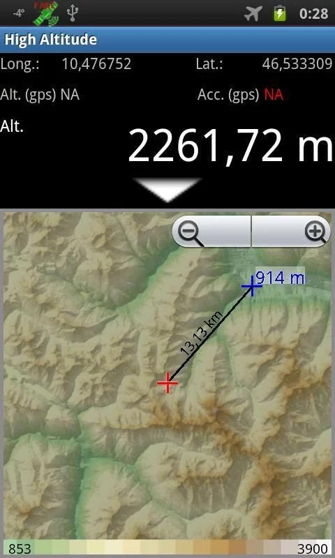
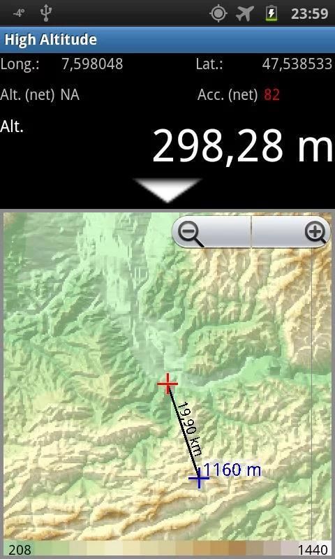
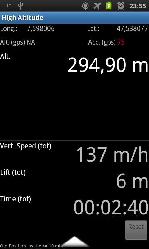
While the GPS sensors are able to determine the position on earth with high precision (up to 10 meters or less) the reported altitude is much less reliable (up to 100 meters). High Altitude corrects this by connecting GPS data with altitude data from up the Space Shuttle Radar Topography Mission. These data is downloaded as so-called hgt-files and after downloading no network access is required anymore.
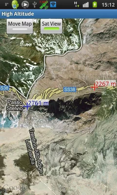
In addition, High Altitude shows a topographic map of your surrounding, simply touch that map to get the altitude.
New in 1.2: You can instantaneously see the altitude on a (google) map when sliding your finger over it. This works for all regions with previously downloaded altitudes.
Nicer rendering of topographic map.
Distance between current and tapped position is shown.
Various small enhancements (e.g. number of satellites for GPS).
9Apps 4.9


![High Altitude 3 by Jack Elphick - [Soft House Music] screenshot 3](https://i.ytimg.com/vi/NNDy_DxCHog/mqdefault.jpg)


