Nautical navigator is a free offline Android app providing you sea maps from openstreetmap and sea markers from openseamap projects.
Main features:
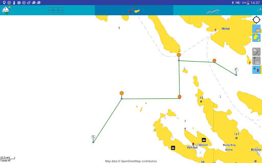
• Land contour with sea charts colors
• Sea marks
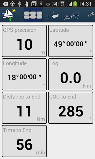
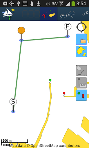
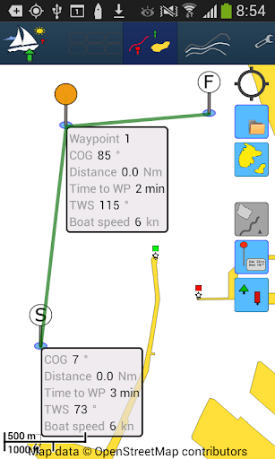
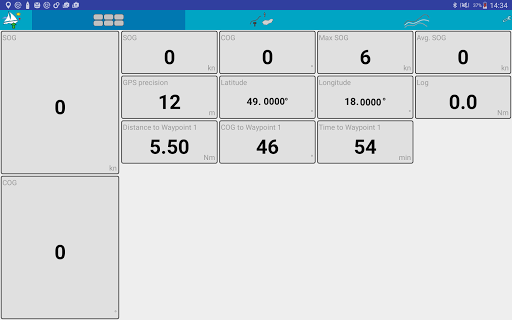
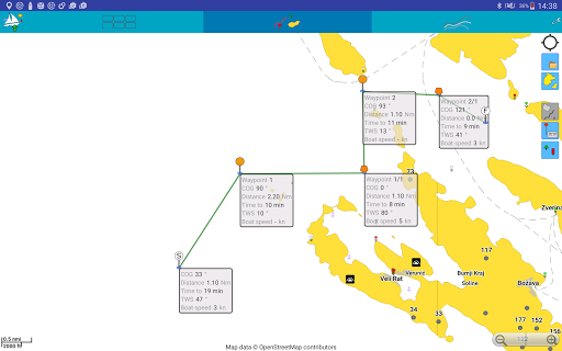
• Planning route via waypoints with detailed information about distance and time to next waypoint
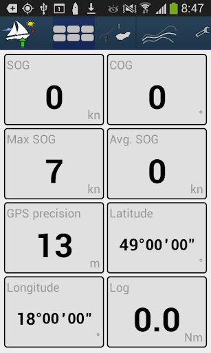
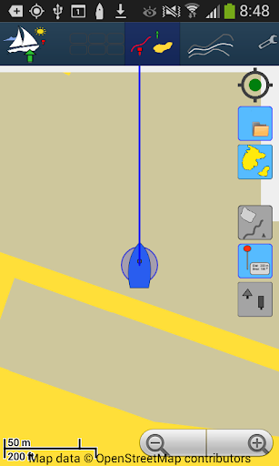
• Tracking your positions
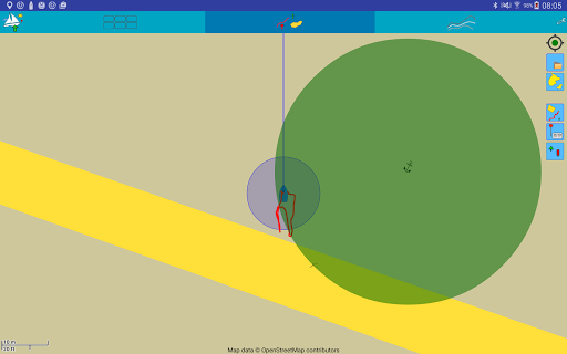
• Anchorage alarm
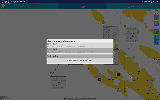
• Importing and exporting sea planner (tracks waypoints) to GPX file
• Managing multiple tracks and waypoints in simple menu
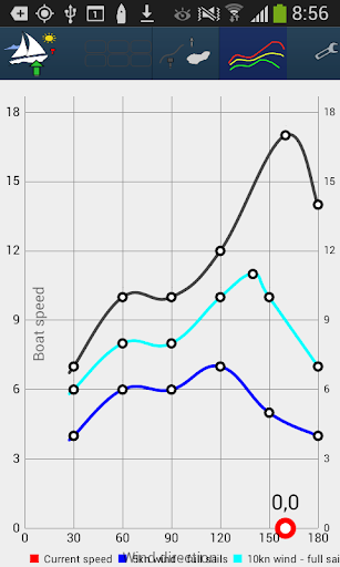
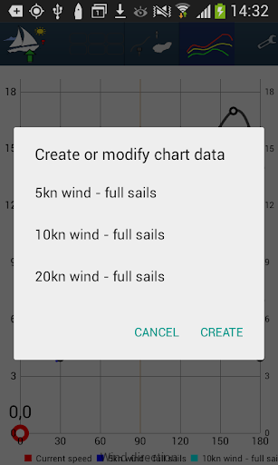
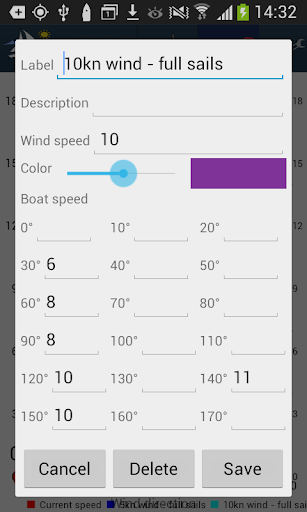
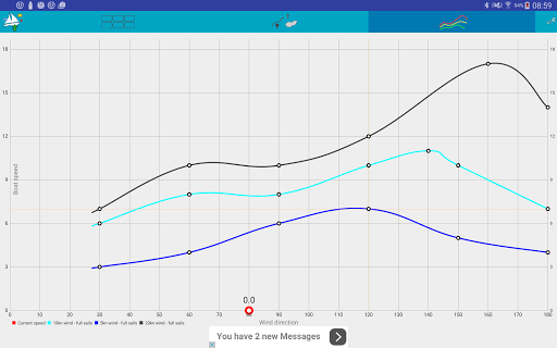
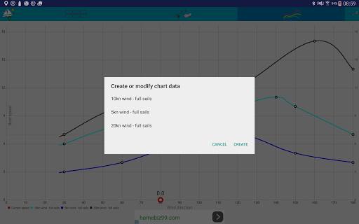
• Polar chart of your boat
• Estimation of time to next waypoint depend on the polar charts
• Overview of SOG, COG, Log etc.
• Many other small features
* maps can be read from SD card
* difference bearing to waypoint
* vibrate if the bearing is greater


9Apps 4.9