New York City, officially the City of New York, byname the Big Apple, city and port located at the mouth of the Hudson River, is the largest and most influential American metropolis, encompassing Manhattan and Staten islands, the western sections of Long Island, and a small portion of the New York state mainland to the north of Manhattan. New York City is in reality a collection of many neighbourhoods scattered among the city’s five boroughs—Manhattan, Brooklyn, the Bronx, Queens, and Staten Island—each exhibiting its own lifestyle. Moving from one city neighbourhood to the next may be like passing from one country to another. New York is the most populous and the most international city in the country. Its is both the gateway to the North American continent and its preferred exit to the oceans of the globe.
New York is the most ethnically diverse, religiously varied, commercially driven, famously congested, and, in the eyes of many, the most attractive urban centre in the country. No other city has contributed more images to the collective consciousness of Americans: Wall Street means finance, Broadway is synonymous with theatre, Fifth Avenue is automatically paired with shopping, Madison Avenue means the advertising industry, Greenwich Village connotes bohemian lifestyles, Seventh Avenue signifies fashion, Tammany Hall defines machine politics, and Harlemevokes images of the Jazz Age, African American aspirations, and slums.
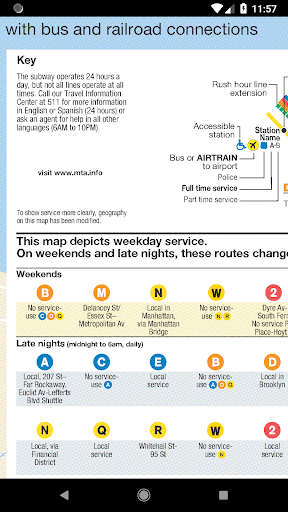
- latest New York City Subway map
9Apps 4.9