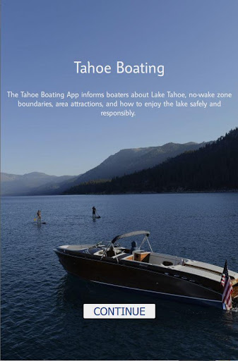
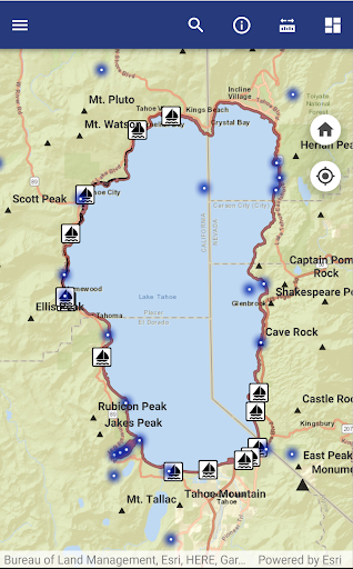
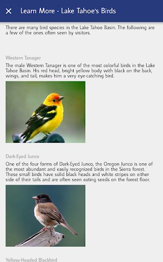
Search and discover points of interest while boating and paddling on Lake Tahoe. The Lake Tahoe Boating App uses GPS to help you find nearby marinas, boat ramps, public piers, beaches, bathrooms, restaurants, fueling locations, and much more. You'll also find information about historic places, best boating practices, emergency contacts, wildlife, plants, and real-time weather.
FEATURES:
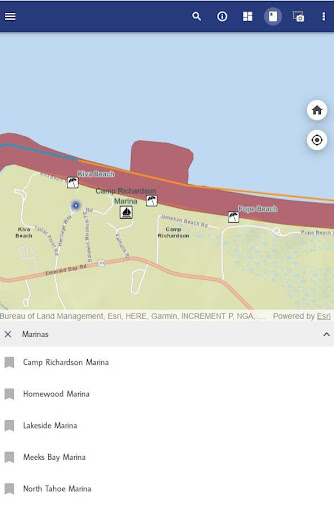
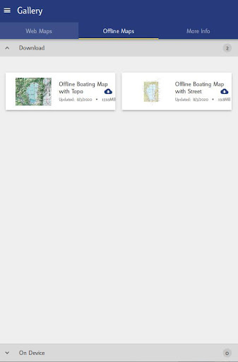
- Navigate to points of interest around Lake Tahoe: Boat Ramps, Marinas, Fueling Locations, Historic Places, Beaches and Public Bathrooms.
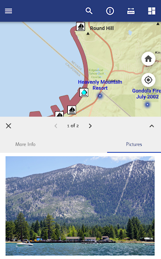
- Photos and full description of each point of interest.
- Uncover the history beneath the Lake. Float above a shallow shelf next to where the glacier carved down 1,000 feet, go find a sunken ship, or navigate to the deepest point, 1,636 feet below!
- Completely FREE – no in-app purchases
ADDITIONAL INFO:
The Tahoe Boating app is brought to you by the Tahoe Regional Planning Agency (TRPA). The mission of the TRPA is to restore and protect the extraordinary natural environment of the Lake Tahoe Basin while improving local communities. This application is meant to enhance the experience of boating and paddling on Lake Tahoe.


9Apps 4.9