
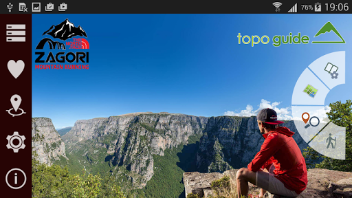
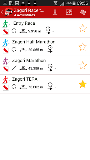
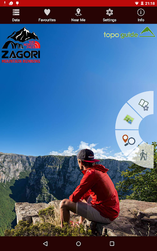


Zagori Mountain Running topoguide is a digital field guide for the 4 races of the 2018 edition:
• Entry Race (10 km)
• Half Marathon (21 km)
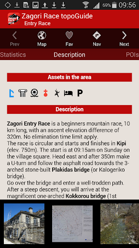
• Marathon (44 km)
• TERA (80 km)
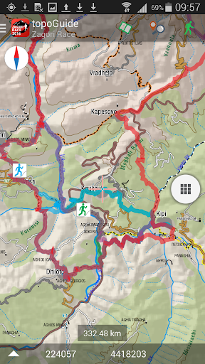
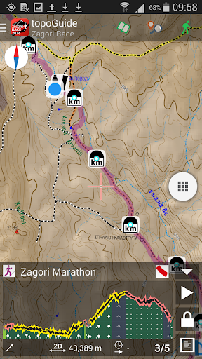
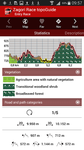
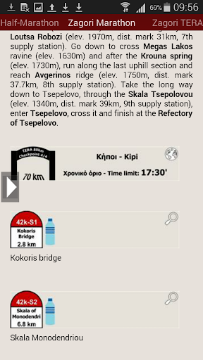
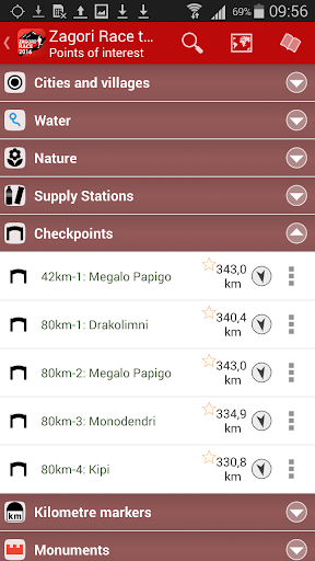
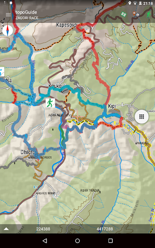
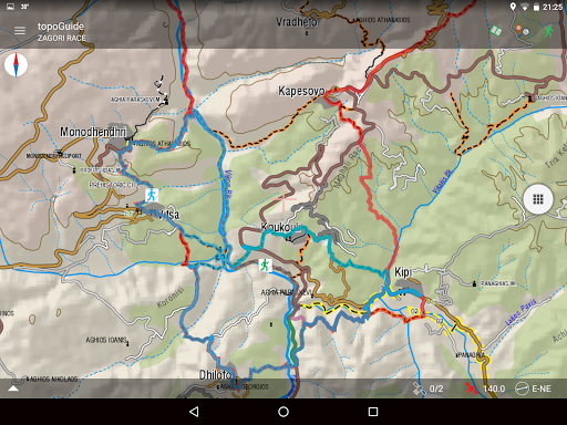
The application provides the accurate tracking, as well as the Checkpoints and Supply Stations of each race. During the race, the app warns the runner when he leaves the track and indicates the shortest way to go back.
The detailed and up-to-date offline maps cover a much wider area and include all tourist information. An extended introduction on the nature and the highlights of Zagori area frame the races in their natural and cultural landscape.
The application has been created in collaboration with the Zagori Mountain Running organization committee and My Adventure.
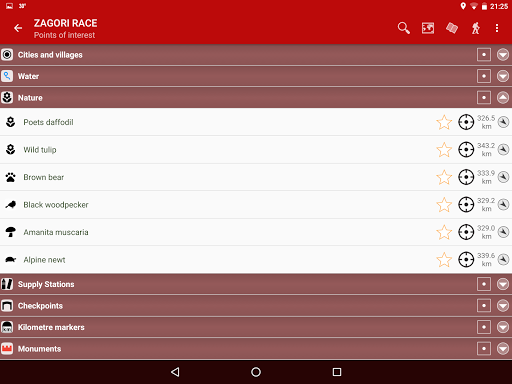
The runner can scrutinize the race through its statistic analysis (elevation, vegetation, distances), the detailed description, the checkpoints and the supply stations. His friends can explore the Zagori area with the help of the offline cartography and the navigation routes to hundreds of POIs of the wider area.
Thank you for using our app!
This version fixes small bugs.

9Apps 4.9


