
Download Centerline Maps for your next outdoor adventure!
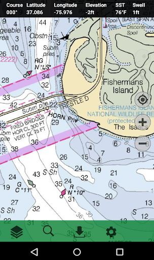
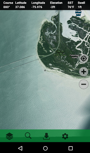
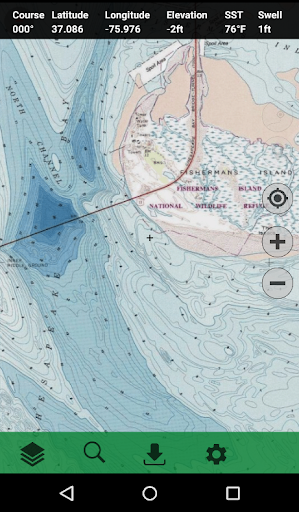
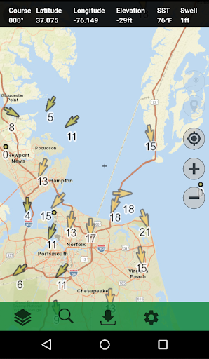
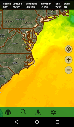
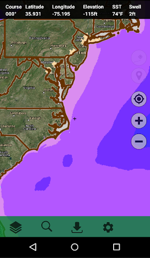
Centerline Maps is a multisport handheld GPS built for the outdoors providing various map layers and live weather conditions to track your location on land and water.
Used for boating, sailing, kayaking, hiking, hunting, fishing, and much more.
View interactive map layers including:
Global Aerial Imagery
US Nautical Charts
US Topographic Maps
Global Terrain and Contours
US Radar and Clouds
US Wind Speed and Direction
Global Sea Surface Temperature
Sea-Level Pressure (mb)
Horizontal Visibility
Dew Point Temp. (F)
Significant Wave Height (ft)
3-Hr Pressure Change (mb)
Cloud Cover (oktas)
World Streets
Version 2.0
New features and map layers coming soon!


9Apps 4.9


