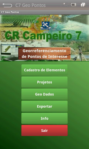
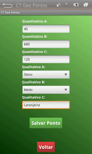
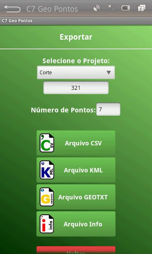

The Application C7 GeoPoints aims lifting of geographical coordinates of points isolated and its storage structure in a SQLite database in the identification of a project with the previous characterization of the elements. As the nature of the project the user can register elements (trees, poles, culverts, hydrants, etc.) that would be associated with the objectives of the survey data. Thus at each point georeferenced project beyond the identification of the element (point) can be informed three qualitative and three numerical attributes associated with the different points. The data of a project can be exported in CSV, KML and GeoTXT format files.
9Apps 4.9