
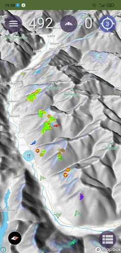
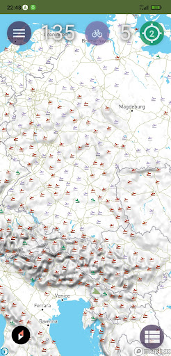
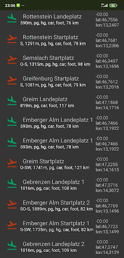
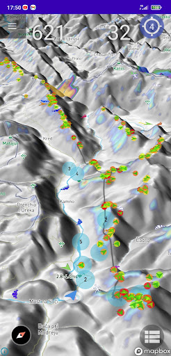
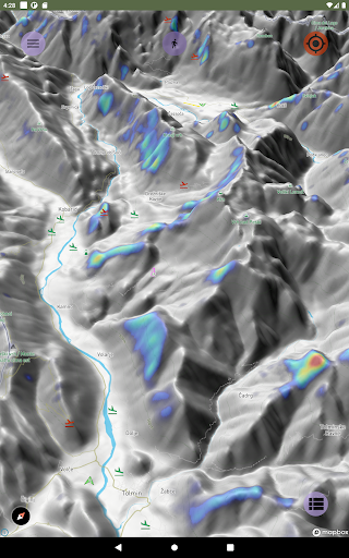
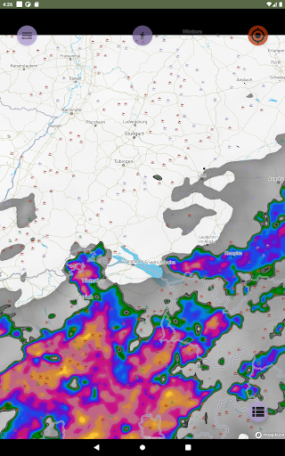
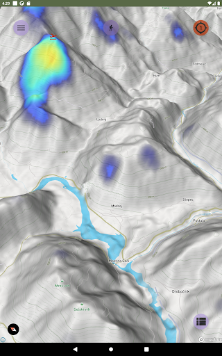
The map allows you to display current traffic, weather, thermal points in real time, contains a base of takeoffs, landings, thermal zones.
Features:
- 3D terrain maps
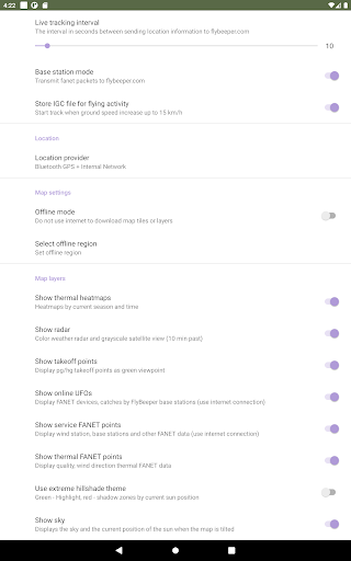
- Offline mode
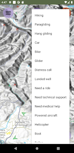
- Activity support : paragliding, hanggliding, glider, car, hiking, bike, ets...
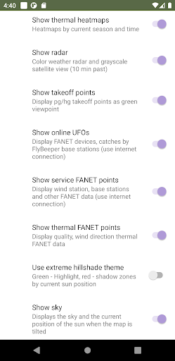
- Thermal maps
- Colored flight path by vario
- Low power optimised
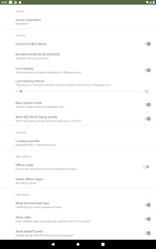
- Use external GPS/barometer
- Use external FANET module
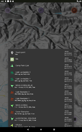
Connecting an external bluetooth device FlyBeeper additionally allows you to display information without Internet access within a radius of 20 km:
- the current geolocation of all devices with FANET support;
- detected thermal zones;
- data from weather stations about the strength and direction of the wind, temperature, humidity;
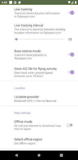
- show own track;
- recording own track to IGC file;
If Internet connection awailable, it provides live tracking, as well as relaying the geolocation of other pilots to the FlyBeeper website.
Your friends, family and other pilots will be able to track your location as long as the external FlyBeeper device is turned on. The program does not transmit the current position without an external FlyBeeper device.
change sett mode


9Apps 4.9


