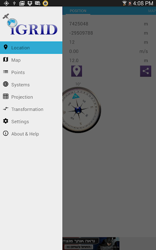

• iGRID is a powerful tool that enables you to see, add, edit and share locations and coordinate systems.
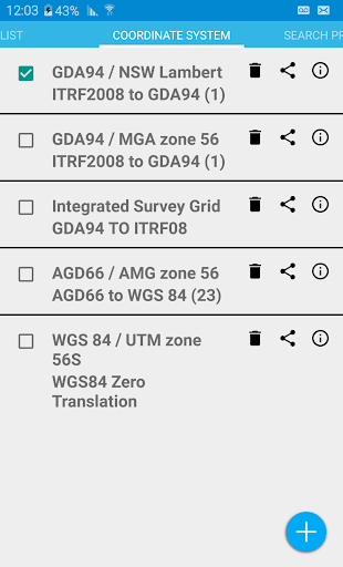
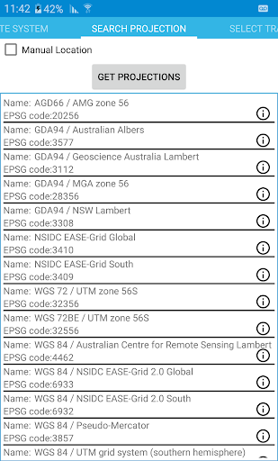
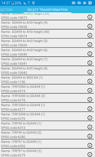
• Set up your coordinate system, choosing from the most up to date projection and transformation
systems from EPSG online registry or manually add your own for FREE.
• Share coordinate systems with friends and co-workers.
• Share your location with navigation apps on your device or share points with full description (image, coordinates, coordinate system, and time) as simple text.
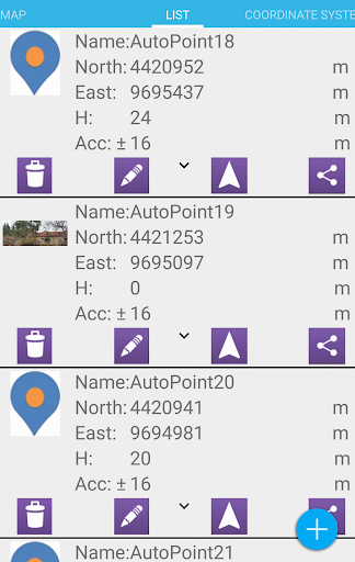
• Manage your lists of points and systems by Creating, editing, sharing and deleting.
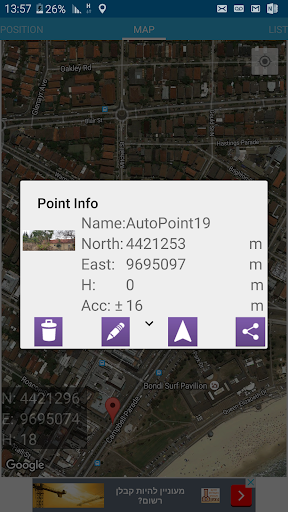
• See your points as markers in google map and add location by tapping on the map. See detailed point information on the map by tapping on it.
• See distance, geographical distance (geodesic) or 3d distance and azimuth from your location to the selected marker on the map.
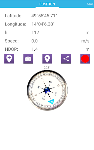
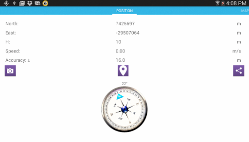
• See your current location, accuracy and ground speed from the GNSS sensor and bearing with built in compass based on the magnetic sensor.
• Add a default name to save your points name automatically.
• Import and export list of points
• Record your location with time or distance intervals and accuracy and PDOP limits
Fixed some bugs


9Apps 4.9