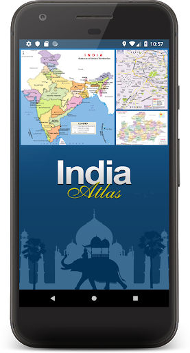

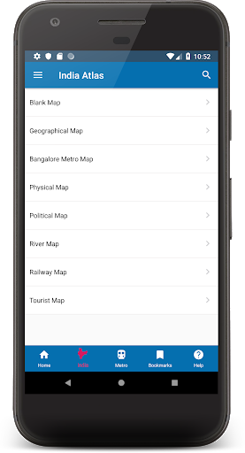
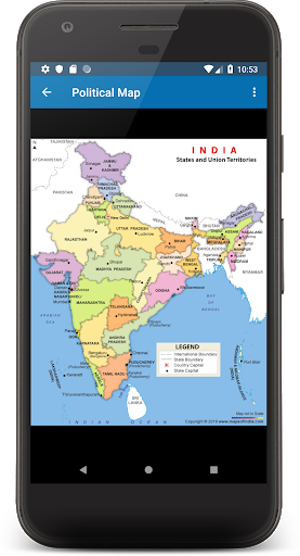
mapsofindia.com presents India Atlas with High quality States and District maps. India Maps are available in 8 views for your use including Physical, Political, Geographical, River, Railway, Tourist, Outline and Blank Maps.
These can be zoomed to the district level if you are on a WiFi or a 3G internet connection. You can also print or save these maps once they are loaded on your device.
The Application has following features-
-Discover state and district maps of India with a single tap
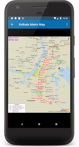
-Explore metro train route maps of the major cities
-Print any map on screen through a Wireless Printer
-Save the map on screen to the device's internal storage and use as required.
-Share the map through various Social Media sites from the app itself. (Individual Apps needs to be installed)
-Bookmark your favorite map for future reference and for easy navigation
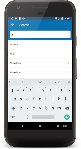
-Search for State or for a district from the on screen search bar. Just type in the name and the list is populated instantly
-Use gestures to browse through the maps. Pinch to zoom the maps in and out.
1.Jammu and kashmir, Ladakh and Andhra Pradesh information updated.


9Apps 4.9