


There's no denying the fact that 20,000+ users downloaded MyLand Abu Dhabi latest version on 9Apps for free every week! This app was totally funny. This hot app was released on 2019-07-27. Read the following paragraph to see more information.
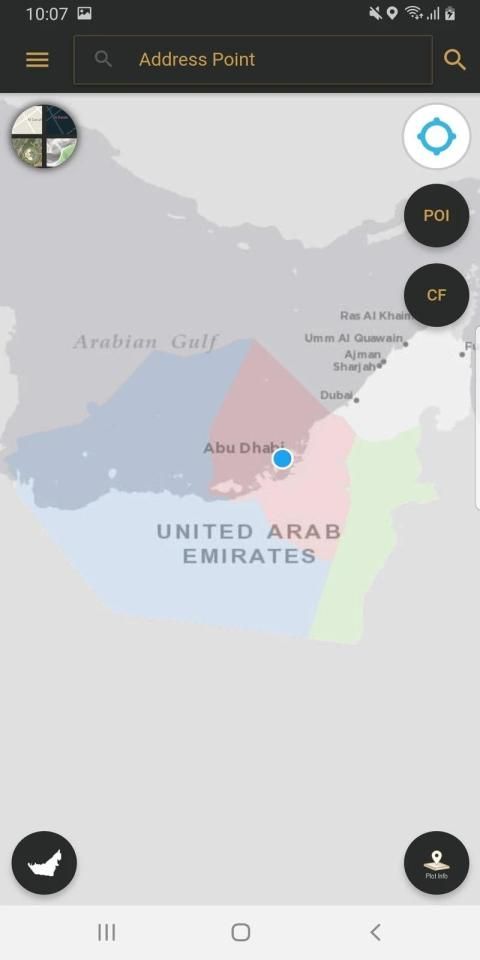
DPM MyLand application is geospatial platform unifying existing DPM GIS applications services that are open to public users in smart and easy-to-use for web portal and smart mobiles app, catering all three municipalities (Abu Dhabi, Al Ain and Al Dhafra).
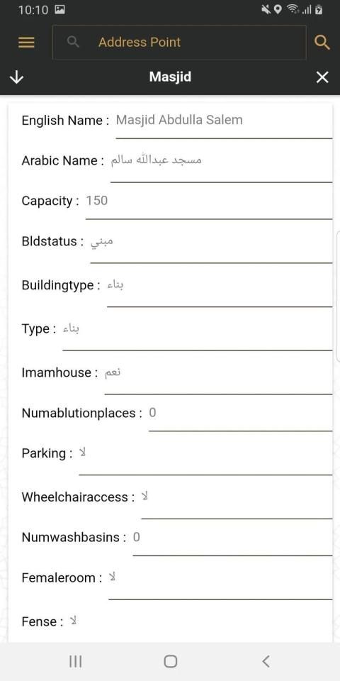
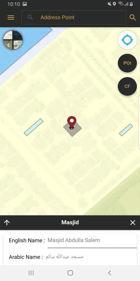
The DMP public applications that MyLand includes are Onwani, Site plan and Development Code as well as community facility locators.
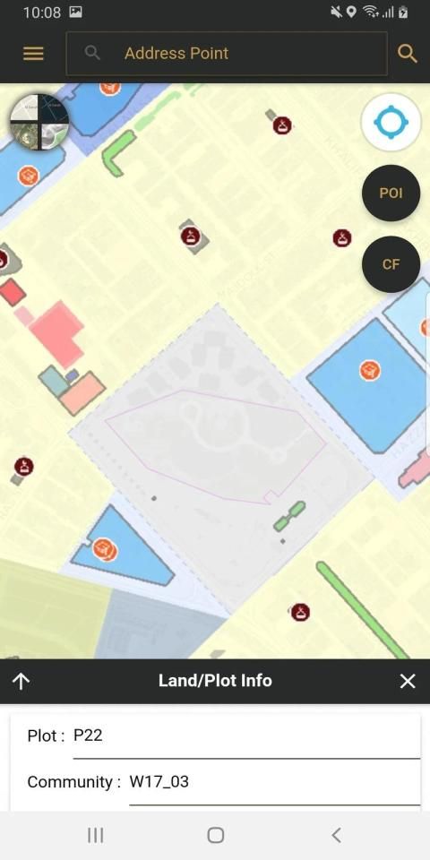
Onwani addressing functions in MyLand include locating of address points, street names, districts, QR code location. The Siteplan module of the MyLand are related to plots and land information. Users can scan the QR code on the printed Siteplan from Abu Dhabi Land Management system to display the plot and its information in MyLand application. Plot information from three Municipalities can be searched in MyLand using zone, sector, road, plot no. MyLand also displays other GIS overlays like Building development code, admin boundaries. The application also provide information about allocated land for community facility and its built up condition as well as the licensed community facilities locations.
DPM MyLand एप्लिकेशन जिओस्पेशियल प्लेटफ़ॉर्म है जो मौजूदा DPM GIS एप्लिकेशन सेवाओं को एकीकृत करता है, जो वेब पोर्टल और स्मार्ट मोबाइल ऐप के लिए सार्वजनिक उपयोगकर्ताओं के लिए खुले हैं, जो तीनों नगरपालिकाओं (अबू धाबी, अल ऐन और अल धफ़रा) को पूरा करते हुए स्मार्ट और आसान उपयोग में हैं।
DMP के सार्वजनिक अनुप्रयोग जिनमें MyLand शामिल है, वे ऑनवानी, साइट प्लान और डेवलपमेंट कोड के साथ-साथ सामुदायिक सुविधा लोकेटर भी हैं।
MyLand में ऑनवानी संबोधन कार्यों में पते के बिंदुओं का पता लगाना, सड़क के नाम, जिले, QR कोड स्थान शामिल हैं। MyLand का साइटप्लान मॉड्यूल भूखंडों और भूमि की जानकारी से संबंधित है। उपयोगकर्ता MyLand एप्लिकेशन में प्लॉट और इसकी जानकारी प्रदर्शित करने के लिए अबू धाबी भूमि प्रबंधन प्रणाली से मुद्रित साइटप्लान पर क्यूआर कोड को स्कैन कर सकते हैं। जोन, सेक्टर, रोड, प्लॉट नं। का उपयोग करके MyLand में तीन नगर पालिकाओं से प्लॉट की जानकारी खोजी जा सकती है। MyLand भवन विकास कोड, व्यवस्थापक सीमाओं जैसे अन्य GIS ओवरले भी प्रदर्शित करता है। आवेदन सामुदायिक सुविधा के लिए आवंटित भूमि और इसकी निर्मित स्थिति के साथ-साथ लाइसेंस प्राप्त सामुदायिक सुविधाओं के स्थानों के बारे में भी जानकारी प्रदान करता है।
Fixes


9Apps 4.9