WalkersGuide is a navigational aid primarily intended for blind and visual impaired pedestrians. It
calculates routes and shows nearby points of interest.
The project consists of an Android client and a server component. The latter performs the route calculation. The map data is provided by [OpenStreetMap](https://www.openstreetmap.org), a project to create a free map of the world.
Main features:
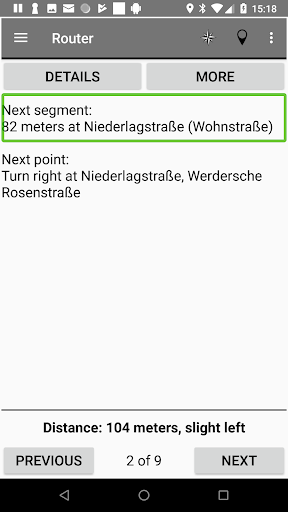
- Calculate routes optimized for blind and visually impaired users
- Explore layout of intersections
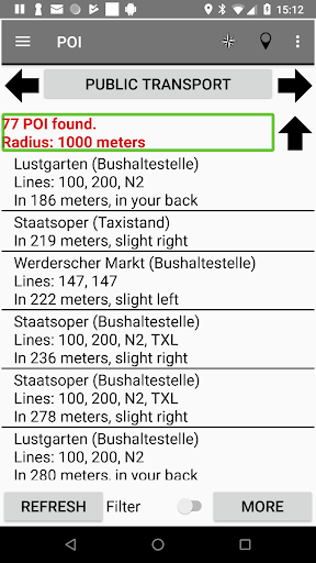
- Show nearby POI
- Find train and bus stops and get their next departures
- Simulate any street address
- Create your own favorite points
The application is fully accessible with Android's screen reader Talkback.
Feel free to request new maps.
Please visit https://www.walkersguide.org for more information.
- Dark mode support
- Settings import and export
- Departures and trip details views reworked
- PTE version from December 2020 fixes the broken VVO provider


9Apps 4.9