AABSyS has developed an Android Application to suit to the FDC-Admin work of HERE. This application is built in as per the HERE’s specification.
Features included are as follows;
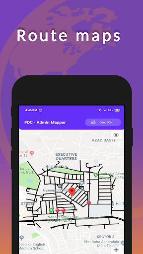
1. Uploading the KML data (input street and AOI) to application HERE supplied inputs such as Street data and AOI will be exported to android application
“FDC-Admin Mapper” for field reference.
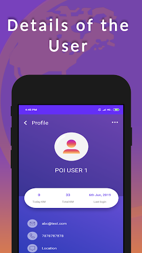
2. Tracking of user movement at field
The AABSyS user will do the field survey to collect the Admin boundary information to create the Admin boundaries (locality, sub-locality boundary polygon etc.). Their movement will be tracked through application and AABSyS can monitor their movement on the desktop parallel to the field survey activities. This will help AABSyS team to guide for missing and communicating on the spot for a better field coordination with user.
3. Capturing of geo-tagged photos for each link
The field user can’t skip but take the geo-tagged photos. In case there is no boundary
information available still he has to take the photographs to proof that the boundary
information is not available. It’s restricted to skip the photograph by application. The
application also provide the functionalities to record the voice of the local people who
shares the boundary information. The application will indicate/highlight the street links for
which the photograph is missing and those cases could be verified by coordinating with
vendors.
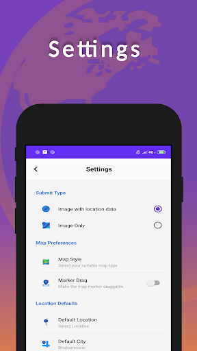
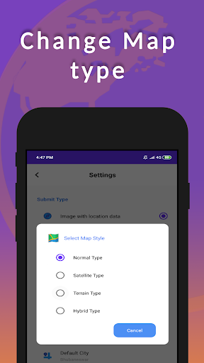
4. Capturing locality, sub-locality, sub-sub locality and attribution to road links
The user will capture the locality, sub-locality, sub-sub locality as applicable and store the
information on android application along with its proof (photographs and voice).
5. Capturing of Audio/Video for consultation to know the boundaries
As mentioned above this functionality is available to record the audio/video in case user
wants to record the voice of local person to whom he consults for the information.
6. Automatic boundary formation of localities, sub-localities etc.
Based on the collected information, application will form the boundaries of localities, sub-
localities etc. While desktop monitoring in case there are any irregularities noticed then it
would be communicated with user for the valid information.
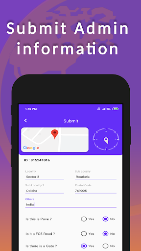
7. Capturing of missing FC-5 roads and attribution
Application has the feature to attribute the FC-5 roads. It can also capture the roads where it is missing or it needs update. Using the FC-5 feature application a single FC -5 road also
possible to tag with different attributes.
8. Gate capturing on FC-5 and direction attribution
A Gate is also captured with a photograph and its attribute of direction.
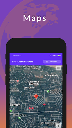
9. Desktop publication and display while work is in progress.
As explained above when the user is in filed it could be displayed on the desktop and his
movement and his work could be monitored. It could be also communicated on spot.
10. Downloading of captured information and importing to ArcGIS SHP.
The user can download the data to desktop and it could be imported to ArcGIS SHP format.
11. In case of ‘no internet’ saving the captured data in mobile and upload automatically when
internet connection is back on mobile.
Application has such facility that in case at certain location the internet connection is not
available then it can save the captured data on mobile and later it will be uploaded to
AABSyS server when data is available. During this time the information will not be available at desktop


9Apps 4.9