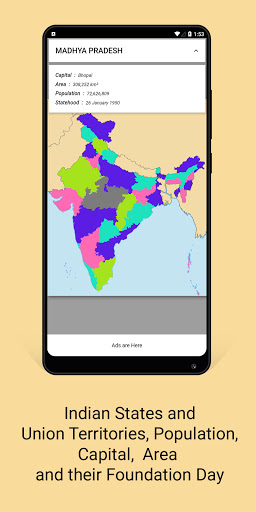

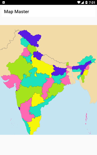
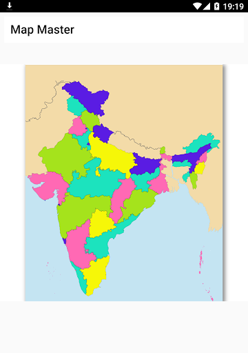
အိန္ဒိယပြည်နယ် 28 ခုနှင့်ပြည်ထောင်စုနယ်မြေ 8 ခုရှိသောအိန္ဒိယမြေပုံ။
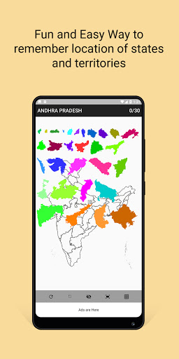
ဤအက်ပ်သည်သင့်အားအိန္ဒိယပြည်နယ်များနှင့်ပြည်ထောင်စုနယ်မြေများ၏အမြင်အာရုံတည်နေရာကိုသတိရရန်သင့်အားကူညီသည်။
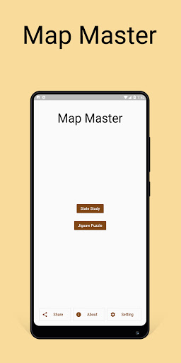
Map Master, An app with India Map and their States and Union Territories.
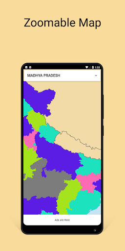
Map is Interactable where you can tap, zoom and drag. On tapping on any State or Territory you can see Capital, Population, Area, Language and their Foundation Day.
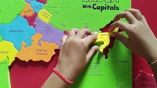
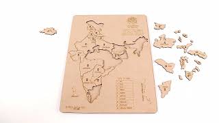
Additionally a Jigsaw Puzzle based on 30 Pieces out of All States and Territories is included in Map Master. After playing some times you can easily remember the location of States in Map.


9Apps 4.9