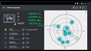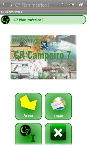


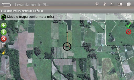


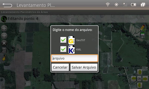

The C7 Planimetrico I, is an application developed for the Android platform, which using the Google Maps API, allows location of any area on the maps or satellite images, and enables points vectorization, calculation of area and perimeter , storing the geographic coordinates of latitude and longitude (decimal degrees and UTM - WGS84) in text file (GeoTXT) and send this file - email - to any recipient in the application environment itself.
Video Demo: http://crcampeiro.net/redirectVideoAndroid.php?id=3
9Apps 4.9