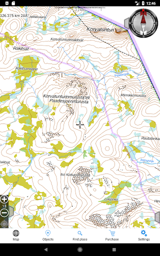
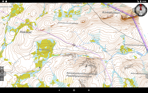
Offline topographical maps of Finland, Sweden and Norway. Maps can be used offline after initial loading.
Jahtikartta includes
• GPS position, compass, navigation using compass
• detailed topographical maps,
roadmaps
• saving POIs, navigating to POIs, saving routes
• draw and measure routes and areas
• importing routes and waypoints from GPX files
In app purchases:
• Loading map tiles
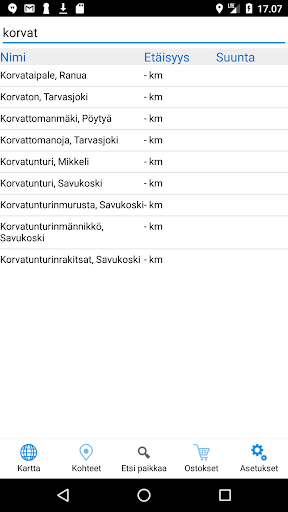
• Location database: search for coordinates using a place name
•Pro-subscription: All the above and positioning with SMS and GPRS for Jahtikartta, Minifinder and Meitrack, SMS Positioning for MTPT compatible GPS trackers, small game areas of Metsähallitus, sharing location within team.
Please contact us if you encountered any problem or you have a suggestion for improvement.
Usability improvements


9Apps 4.9