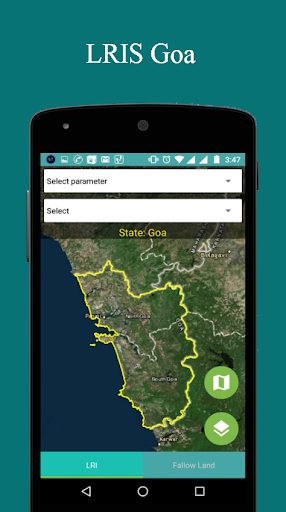
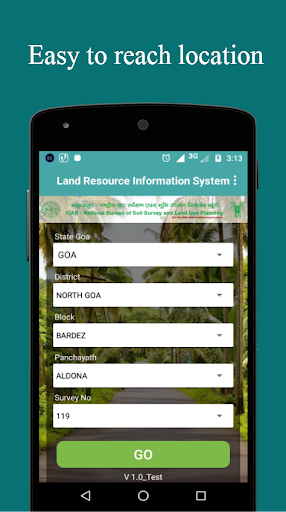
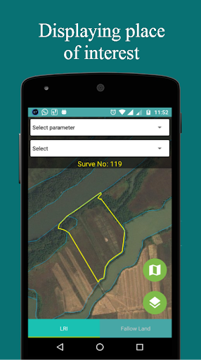
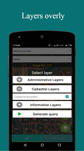

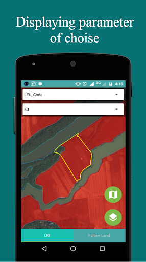
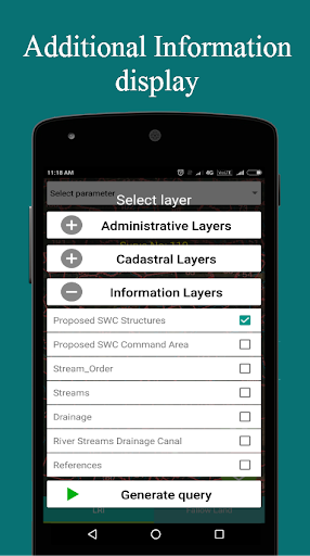
LRIS Goa (Land Resource Information System) is android based mobile application. This is a GIS (Geological information system) base application which uses Esri map which works for goa state only. This application provides the graphical information of the goa state and also shows multiple layers State Boundary, District Boundary, Taluka Boundary, Panchayat Boundary and Cadastral Boundary.
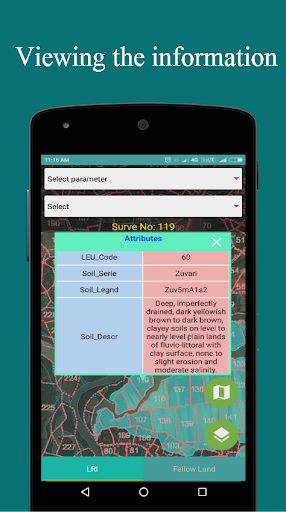
Attribute Information
9Apps 4.9